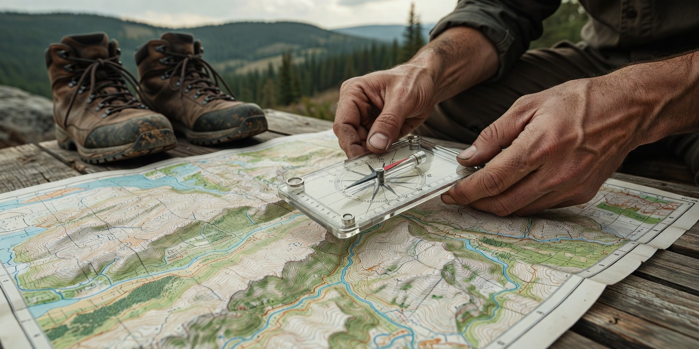
In modern backcountry travel, global positioning systems (GPS) and smartphone applications have largely replaced the analog map and compass for primary navigation. However, digital systems rely on battery power, satellite line-of-sight, and complex circuitry—all of which can, and do, fail in harsh environments. True navigational competence requires a foundation in analog orientation paired with digital efficiency.
Topographic Map Interpretation
A standard roadmap shows distance and direction in two dimensions. A topographic (topo) map adds a third dimension—elevation—through contour lines. These lines connect points of equal elevation. Understanding the density and shape of contour lines allows a navigator to visualize the physical terrain before setting foot on it.
- Spaced-out lines: Indicate a gentle slope or relatively flat terrain.
- Tightly packed lines: Indicate steep terrain or a cliff face.
- V-shapes pointing uphill: Indicate a valley, draw, or drainage, often containing a water source.
- V-shapes or U-shapes pointing downhill: Indicate a ridge or spur.
- Concentric circles: Indicate a peak or summit.
Understanding Declination
The Earth contains two Norths: True North (the geographic top of the globe) and Magnetic North (the wandering point where the Earth's magnetic fields point downward). Topographic maps are aligned to True North, while a compass needle points to Magnetic North. The angular difference between the two is known as magnetic declination.
Depending on your location on the globe, declination can range from 0 degrees to over 20 degrees East or West. Failing to account for a 10-degree declination can pull you nearly a thousand feet off course over a single mile of travel. Most baseplate compasses allow you to mechanically adjust for declination, automatically reconciling the map with the magnetic field.
Shooting and Following a Bearing
To navigate off-trail, you must be able to translate a direction from your map to the physical world. This is done by taking a bearing. First, align the edge of your compass baseplate along your desired route on the map. Second, rotate the compass bezel until the orienting lines match the grid lines on the map (accounting for declination). The number at the index line is your bearing.
To follow this bearing, hold the compass flat in front of you. Rotate your entire body until the red magnetic needle sits inside the orienting arrow ("red in the shed"). The direction of travel arrow now points exactly to your destination. Pick a prominent landmark along that line, hike to it, and repeat the process.
"A GPS tells you where you are. A map and compass tell you where everything else is. The distinction is critical."
Altimeters and GPS Fallbacks
While map and compass provide the foundation, modern tools enhance efficiency. An altimeter—either barometric or GPS-based—is an exceptional navigation tool. By cross-referencing your known elevation against the contour lines on your topographic map, you can pinpoint your exact location along a trail or ridgeline, even in heavy fog.
When using a smartphone for GPS mapping, redundancy is required. Download maps for offline use before leaving cellular service. Keep the phone in "Airplane Mode" to prevent the battery from draining while searching for non-existent cell towers. Always carry a dedicated power bank and thermal protection for the device, as cold temperatures rapidly degrade lithium-ion battery performance.
Navigation is not a passive skill; it requires constant spatial awareness. Continually correlate the terrain you see with the map you carry. Knowing exactly where you are prevents the panic of being lost and ensures swift, decisive action should environmental conditions deteriorate.